![]()
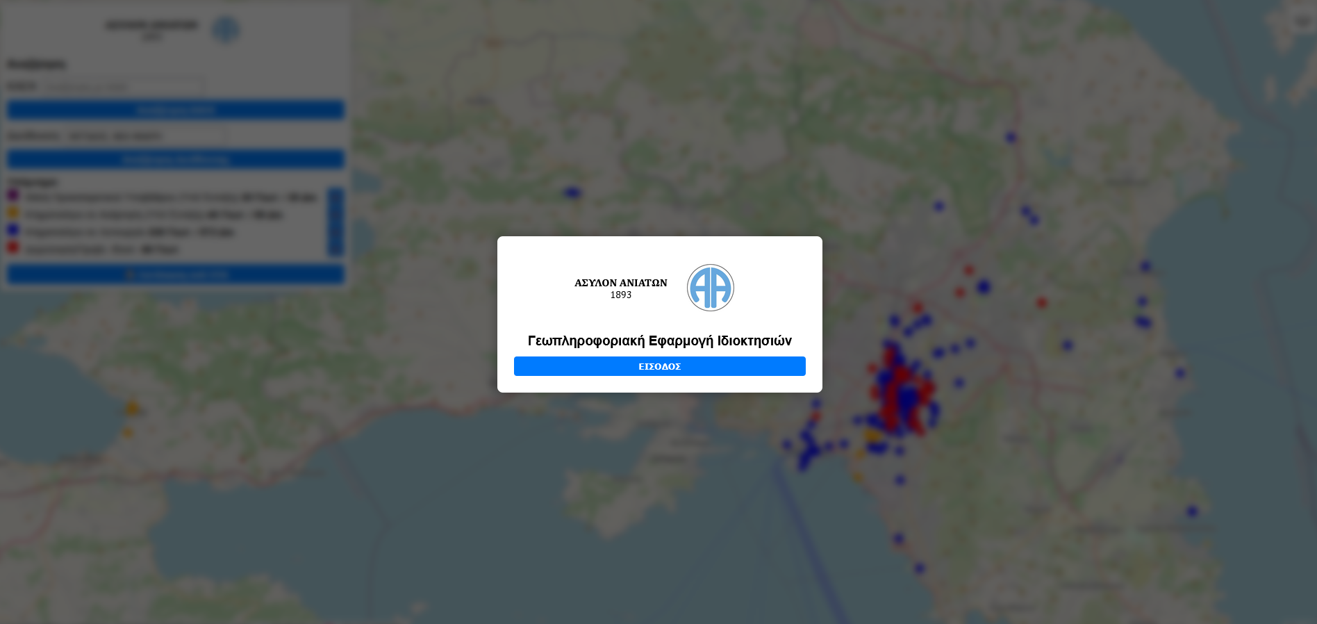
Pasithea is a tailor-made GIS platform for interactive property management and analysis. It combines cadastral mapping, document access, and advanced search tools to deliver complete land information in one place.
✅ Tailor-Made & Scalable
Designed to meet the unique requirements of each client, with the flexibility to add new features and integrations in the future.
✅ Centralized & Comprehensive Access
Unified platform for all property ownership data, ensuring complete and organized information availability.
✅ Easy Search & Navigation
Locate properties quickly using address or Cadastral Number (ΚΑΕΚ) through an intuitive, interactive map.
✅ Instant Access to Related Files & Documents
Retrieve cadastral polygons, topographic diagrams, urban planning details, and financial data effortlessly.
✅ Data Extraction for Further Actions
Generate property reports for valuations, legal reviews, or administrative processes.
✅ Support for Monitoring & Protection
Access and analyze data to help prevent illegal land occupations or encroachments.
✅ User Experience Optimization
Streamlined operation for all involved agencies and services.
✅ PDF Export Functionality
Create and share property information sheets instantly.
✅ Scalable & Future-Ready
Built to accommodate additional features and integrations as project needs evolve.
Already secured collaboration with “ASYLON ANIATON | NEURO-DISABILITY HOSPICE”, one of the largest property owners in Greece since 1893